Galapagos Islands Geography
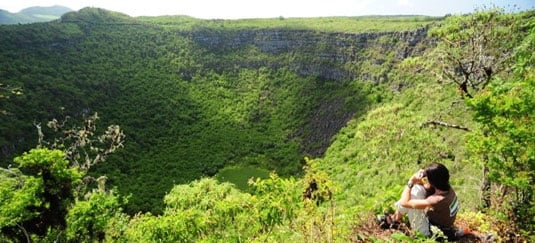
Located over 1000 km from the South American continent, the Galapagos Islands (officially named the Archipelago of Colon) are a dynamic region constantly changing with volcanic eruptions, new lava fields forming and islands eroding and expanding.
The Galapagos Islands are located 600 miles away from the Ecuadorian coastline, formed by 61 islands and islets with 13 main islands. Seeming like shadows upon the sea from one another, the 13 main islands are Baltra, Española, Fernandina, Floreana, Genovesa, Isabela, Marchena, Pinta, Pinzon, San Cristobal, Santa Cruz, Santa Fe, and Santiago.
In total land area, the islands cover 4897 sq. miles (7880 sq. km) and in the total geographical area from Darwin Island to San Cristobal and Española, 28,000 sq. miles (45,000 sq. km)
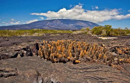
The largest island is Isabela, with 1771 sq. miles (4855 sq. km), and while it makes up close to half of the land area of the Galapagos, it is still less than half the size of the Island of Hawaii. Its largest volcano, the Wolf volcano has a maximum altitude of 5600 ft. (1707 m) making it the highest point in the archipelago.